.png)
.png)
.png)


.png)
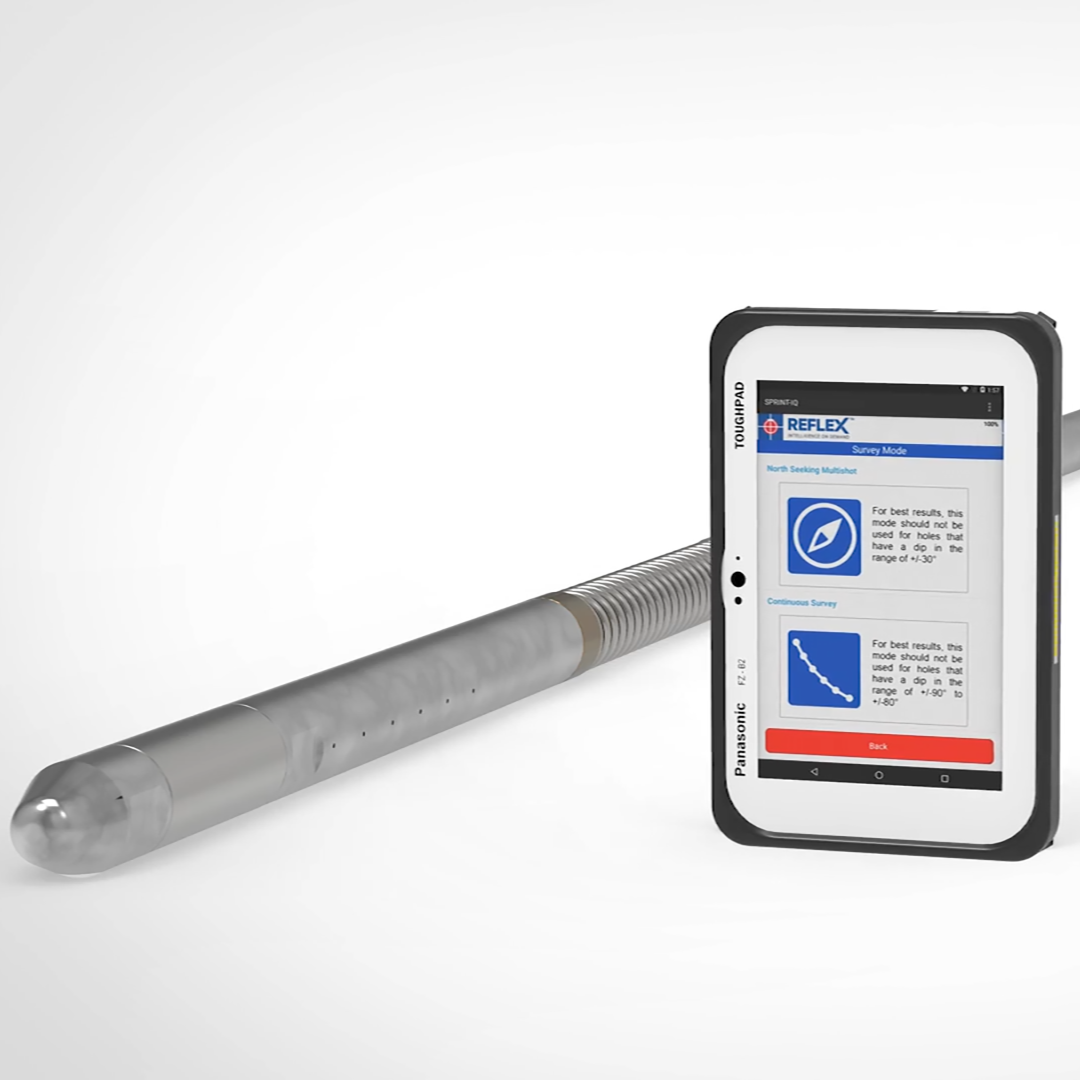
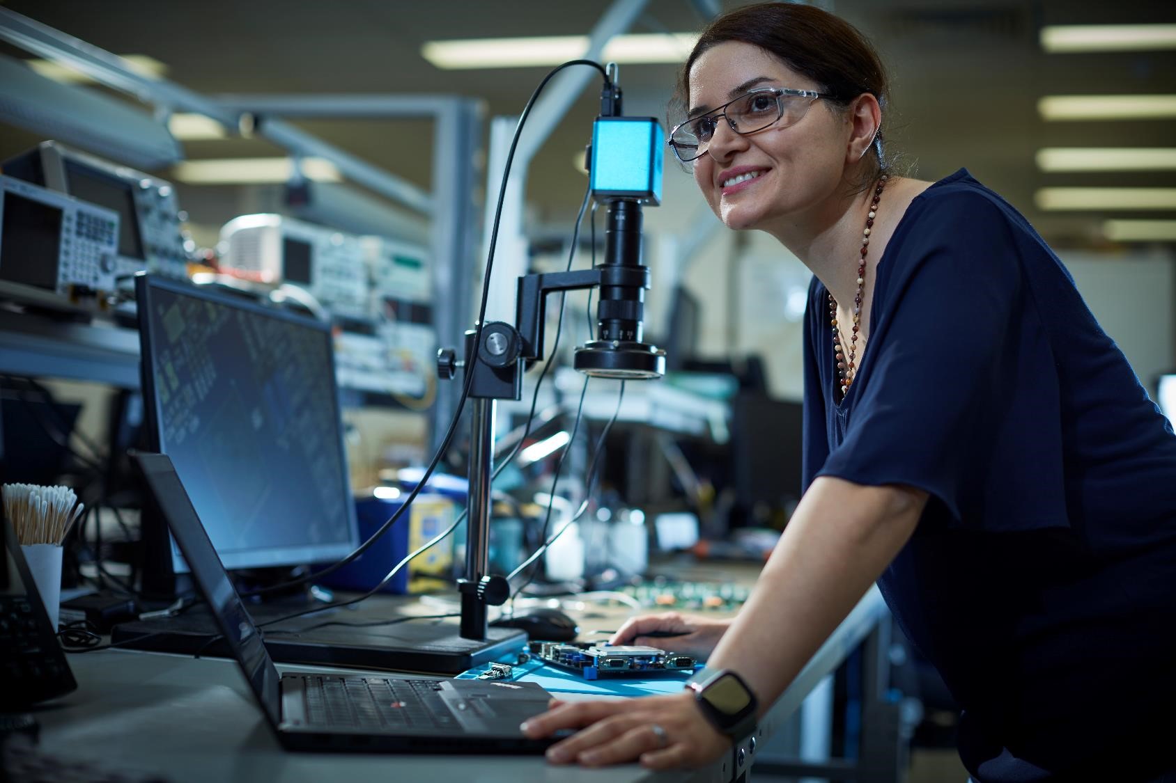
Survey Technology
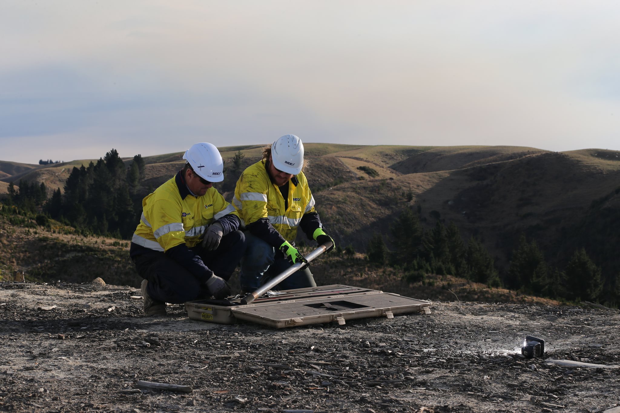
Knowing where a drillhole is in underground space is as important as knowing the grade or rock type; so a survey instrument's capability in delivering an accurate downhole trace is crucial, especially as the drillhole progresses deeper.
Our downhole navigation and rig alignment tools offer unparalleled accuracy and reliability and enable you to access critical data in near real-time.
We give you the control to act on knowledge provided in the moment.
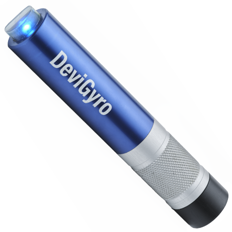
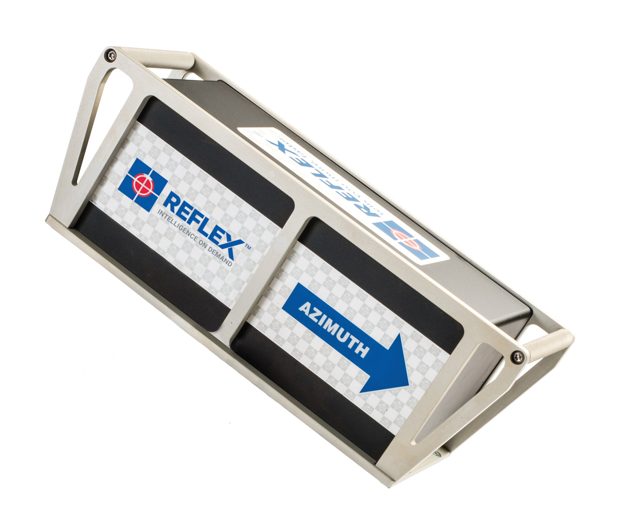
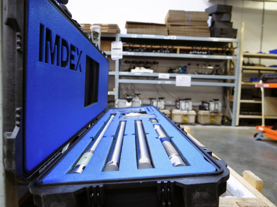
Precise drill rig alignment
Accurate drilling requires accurate drill rig alignment.
- Our DeviAligner and TN14 utilise advanced north seeking, fibre-optic gyro technology to ensure correct drillhole setup as well as precise and quick collar pickup, survey instrument reference and re-alignment requirements.
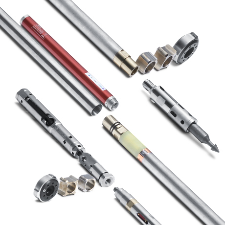
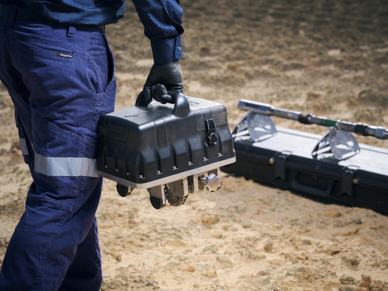
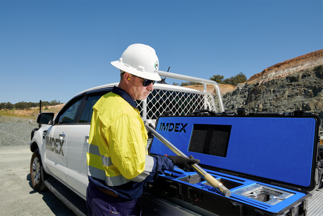
A solution for every requirement
We offer survey sensors appropriate to all survey applications and environments. Whether it’s surface or underground, exploration or production, vertical or horizontal angles, we have a solution to suit your requirements and gyro preferences.
Our products are optimised for the end user and designed to reduce setup and operational time, as well as manual-handling risks whilst delivering accurate, reliable data in near real-time.
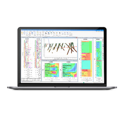
Accurately map the project site
Enhance your geological modelling workflow with detailed geoscience analytics, survey data interpretation and mine design software.
Downhole survey data can be modelled or displayed with geological logging data to validate boundaries and contacts.
Make critical decisions with more accurate information.
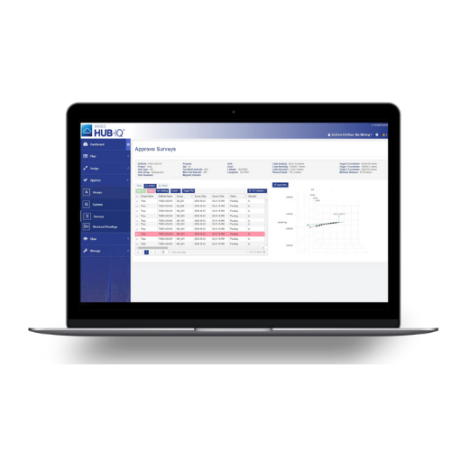
Data confidence built on reliable information
Data is accurately recorded and easily retrievable with our world-class, end-to-end data management and reporting protocols, for reliable ongoing analysis.
Simple and secure chain of custody
Our survey software tools enable careful attention to detail and a rigorous tracking of data and materials to minimise the risk of costly errors and inaccuracies.
-Product-Tag-Variant.png)